


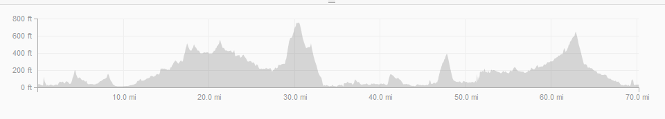
I decided to ride with the Western Wheelers (WW), a mid-Peninsula cycling club, and try their Long Distance Training (LDT) ride which meets each Saturday; this time they met at the Marin County Civic Center for a Petaluma ride which would accommodate all cyclists to choose different paces and appropriate distances and elevation gains. You can find all Western Wheeler rides posted here on their Meet-Up calendar. Most of the rides have a route sheet or gpx file posted on Ride With GPS, just look under keywords: Western Wheelers: http://ridewithgps.com/find. This is convenient because you can download a sync a file into your Garmin and it will give you turn-by-turn directions and will let you know what the elevation profile looks like of your intended route (it’s good to be mentally prepared!).
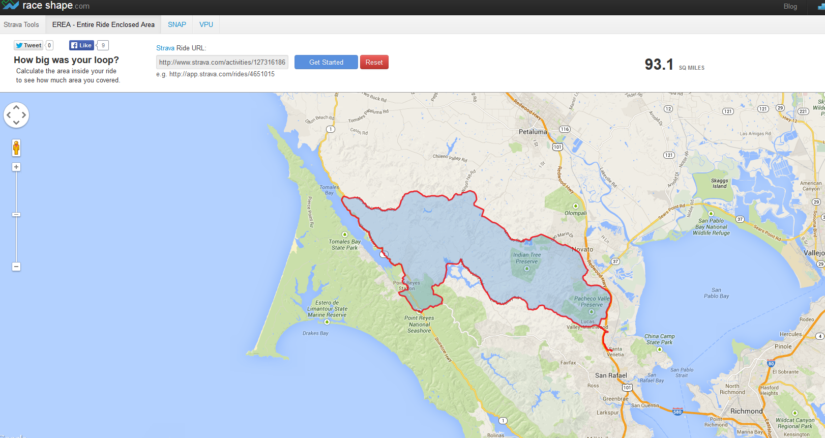
Unfortunately I didn’t download WW’s pre-made route, as it turns out I didn’t need to because the ride leader decided to do something different, instead of riding up and back to Petaluma (avoiding hills because… well, that wouldn’t be much fun now would it!) our new route would go up Marshall Wall and ride on Shoreline Hwy, along Tomales Bay to Point Reyes Station and back.
-
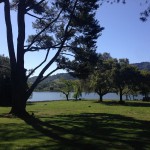
- Stafford Lake Park
-

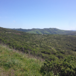
- Marshall-Petaluma Rd
-
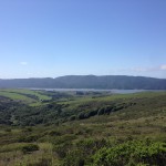
- What a view. Beautiful day but windy.
-
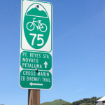
- Which way would you go?
-
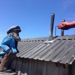
- BBQ Oysters & clam chowder!
-
- Nicascio
-

- Waiting at the top of Marshall Wall.
-
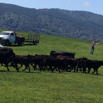
- Rounding up the cattle.
-
- Tomalas Bay